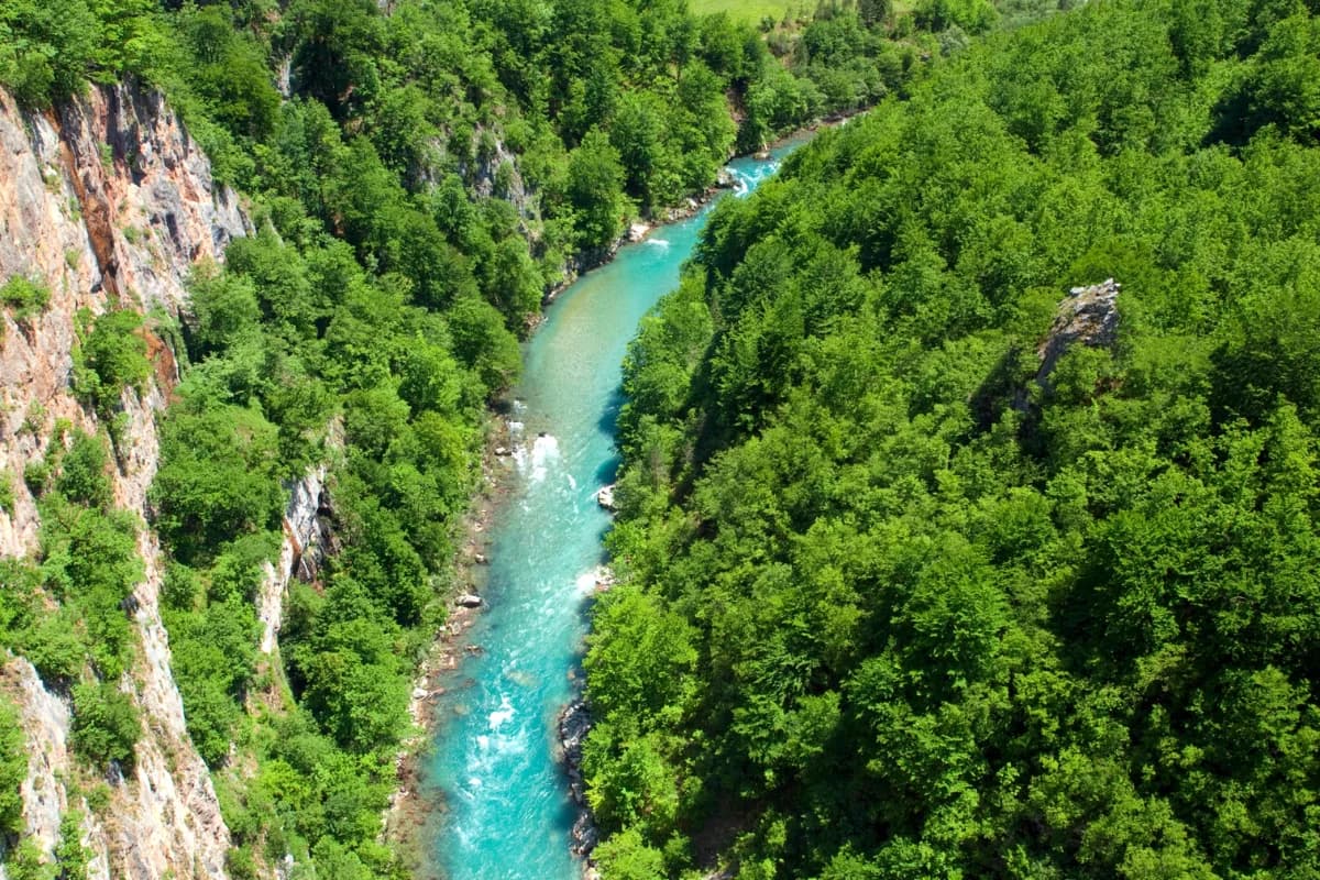
Stand on the edge of Tara Canyon and look down. The river sits 1.300 meters below you, and from that height it looks like a thin turquoise thread, almost too small to be the same water that carved this whole gorge out of the mountains. People call it the Tear of Europe, and you'll understand why once you actually see it.
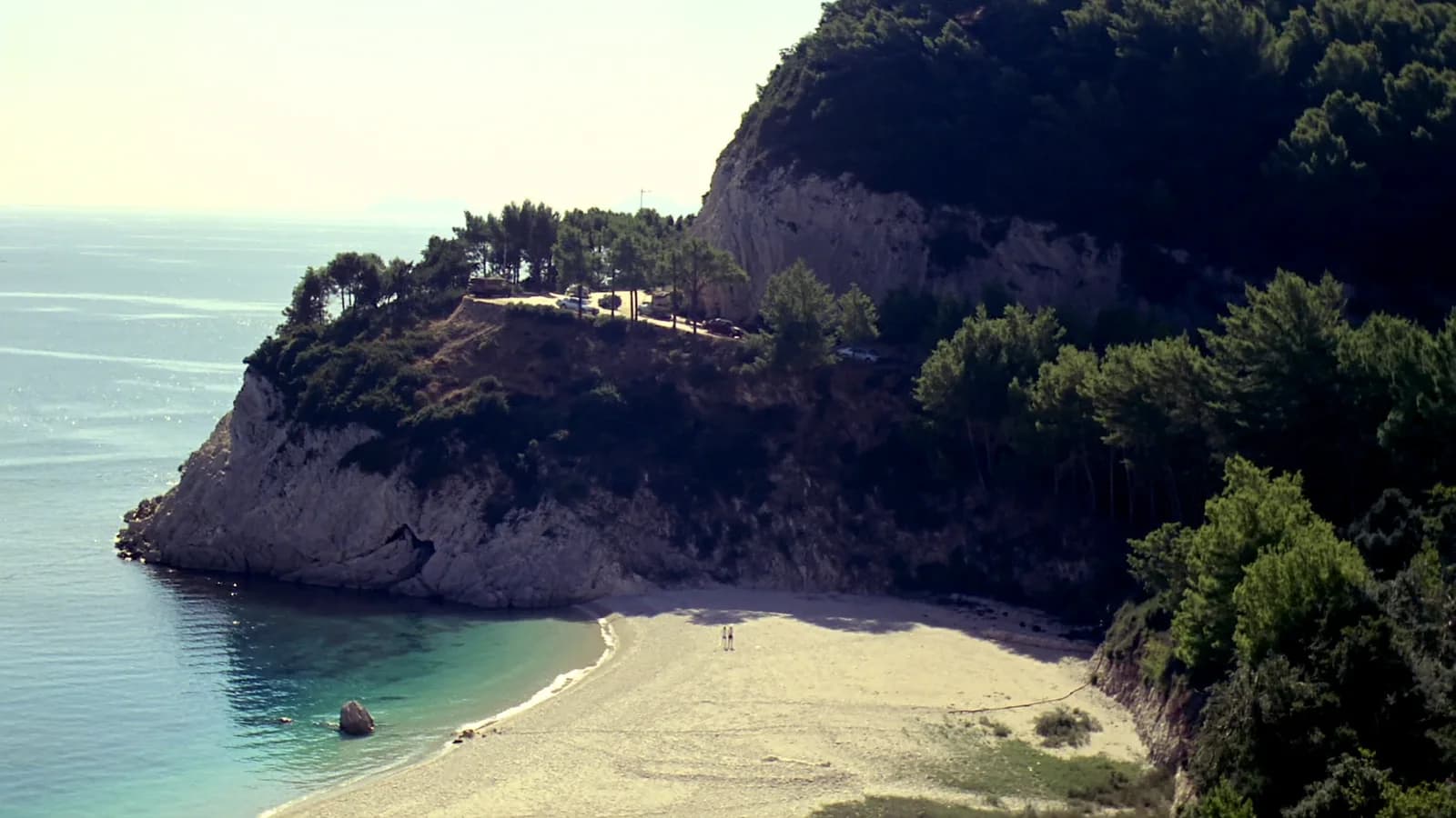
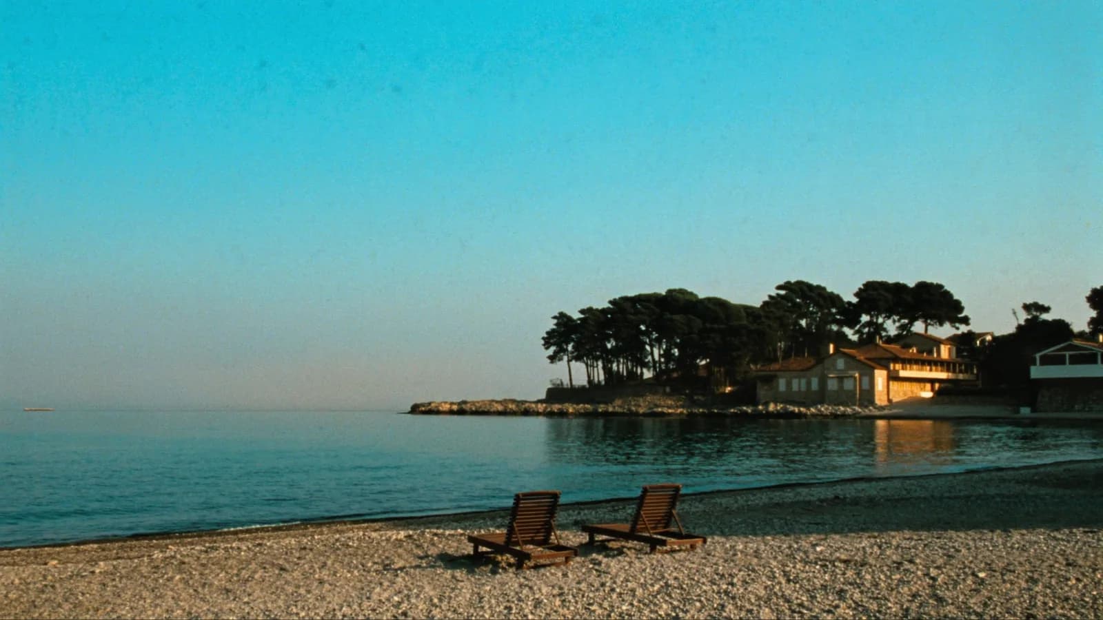
It's summer, and the coast is running hot. Budva's beaches are at full capacity by 10 AM, parking in Kotor old town is its usual circus, and you've probably already done the boat tour, the Sveti Stefan photo, the Lovćen drive. Good. Now go north.
Tara isn't a stop on the way to somewhere else. It is the somewhere else, and most visitors who make it this far end up saying the same thing on the drive back, which is some version of "I had no idea this existed."
This guide is built for people who want to do Tara properly in one summer day from the coast. We'll cover the drive, the bridge, the rafting, the zipline, and a few things the tourist brochures skip.
Why Tara Canyon Stands Alone?
Some quick facts to anchor the rest of this. The canyon stretches 82 kilometers through the north of Montenegro, and at its deepest it drops 1.300 meters from rim to river. That makes it the deepest canyon in Europe and one of the deepest in the world. The whole area sits inside Durmitor National Park and has been on the UNESCO World Heritage list since 1980.
The Tara River runs through it for 144 kilometers before it joins the Piva and becomes the Drina. The water is so clean you can fill your bottle straight from it, and not in a "well, technically you could" way. People actually do it, and the locals will look at you funny if you ask whether it's safe.
We have a separate article on Durmitor National Park that covers the wider mountain, the Black Lake, the ring road, and the peaks. This one is about the canyon itself, which is a different kind of experience entirely. The mountain rewards slow walks and overnight stays. The canyon rewards arriving early, getting on the water, and standing on a bridge that shouldn't really exist.
Getting to Tara Canyon by Car
The drive is long but easier than you'd think. The roads from the coast to Žabljak have been improving steadily over the last few years, and the route through the Moračka Klisura canyon is one of the most beautiful drives in the country. Here's roughly what to expect from the main starting points.
| Starting Point | Distance | Drive Time | Route | Notes |
|---|---|---|---|---|
| Budva | ~190 km | 3 to 3.5 hours | E80 to Podgorica, then M2 north via Kolašin | The fastest option. Smooth motorway to Podgorica, then a scenic mountain road. |
| Bečići | ~195 km | 3 to 3.5 hours | Same as Budva | Add about 5 minutes for getting out of Bečići in summer traffic. |
| Kotor | ~205 km | 3.5 to 4 hours | Coastal road to Budva, then as above | Leave very early. The Kotor to Budva stretch is brutal in July and August. |
| Tivat airport | ~195 km | 3 to 3.5 hours | Coastal road then E80 north | Doable as a day trip from the airport if you land before 10 AM. |
| Podgorica | ~140 km | 2 to 2.5 hours | M2 north via Kolašin | Easiest starting point if you're already in the capital. |
| Žabljak | ~25 km | 30 min | P14 east | The shortest possible approach. Stay overnight in Žabljak and the canyon is on your doorstep. |
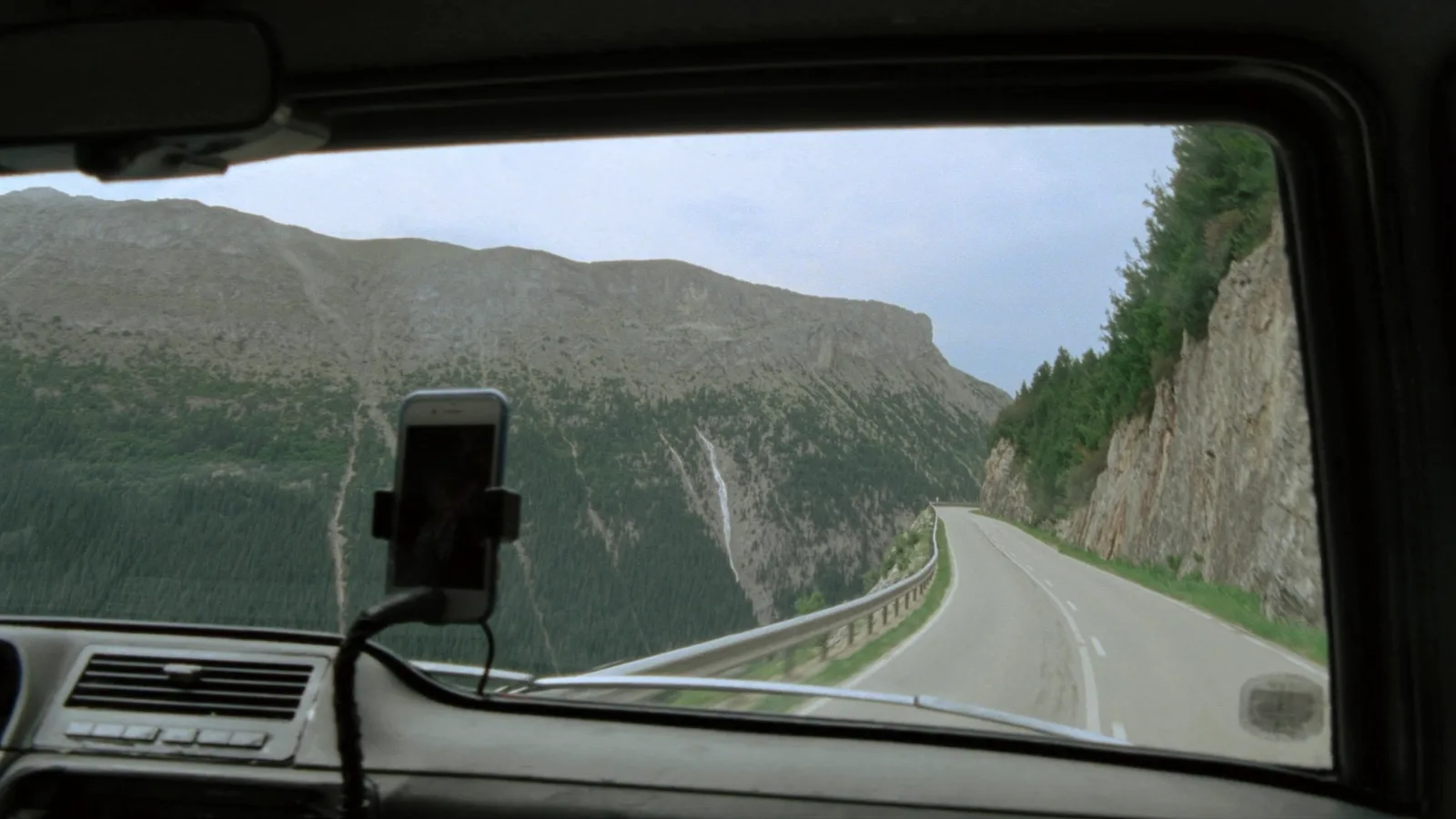
A few things about this drive that aren't obvious. The first chunk on the E80 motorway from Budva to Podgorica is fast and unremarkable, so set the cruise and don't think about it. Things get interesting after Podgorica when the road climbs into the mountains heading toward Kolašin. You'll pass through several long tunnels and a few bridges that hang over deep ravines.
The Moračka Klisura section between Podgorica and Kolašin is the highlight. Massive cliffs, the Morača River cutting through the bottom of the gorge, occasional pull-offs where you can stop for photos. From Kolašin, the road continues to Mojkovac, and from there the most common approach is the road heading northeast toward Pljevlja. You'll see the bridge before you reach it, suddenly and from above, and it's one of those moments where everyone in the car goes quiet for a second.
The Đurđevića Tara Bridge: What to Know Before You Go
The bridge itself is the main reason most people make the trip, and it deserves more than a quick photo stop. Here's how to actually do it well.
A short history that's worth knowing
The bridge was built between 1937 and 1940, and when it was finished it was the largest vehicular concrete arch bridge in Europe. The total length is 365 meters, the main arch spans 116 meters, and the road deck sits 172 meters above the river. The chief engineer was Isaac Russo, and the architect was Mijat Trojanović.
There's a story attached to it that locals will tell you if you ask. In May 1942, during the Italian occupation, the Yugoslav Partisans needed to stop an Italian advance through the canyon, so they decided to demolish the central arch. The job was given to Lazar Jauković, one of the engineers who had originally helped build the bridge. He did it. Three months later, on August 2, 1942, he was caught by the Italians and executed on the bridge he had just destroyed. A memorial plaque marks the spot today, and the arch was rebuilt in 1946.
Where to park?
The bridge has two parking areas. The first one, on the southern side as you approach from Mojkovac, is small and fills up before noon in peak season. The second, on the northern side near the restaurants and zipline platforms, is bigger and usually has space throughout the day. Both are free in 2026, though that may change. There's no fee to walk on the bridge itself.
Where to stand for the best photos?
The best viewpoint isn't actually on the bridge. Walk to the northern end, where the road bends slightly, and follow the small path that goes uphill toward the zipline platform. From there you get a side view of the entire arch with the river underneath, which is the photo everyone is trying to take. The angle improves if you walk a few minutes further up the slope, where the trees thin out.
When to come?
Midday between 11 AM and 3 PM is when the buses arrive. If you can't be there in the morning, aim for late afternoon instead. By 5 PM most of the day-trippers are gone, the light starts to soften, and the bridge photographs well in the warmer tones of the setting sun.
Rafting on the Tara River: Practical Guide
This is the part most people are here for. Tara rafting is the best-known adventure activity in Montenegro, and it lives up to the hype, but only if you pick the right trip for your group.
The three formats compared
There are three main options. The half-day is the most popular and what most coastal day-trippers end up doing. The full-day is the better experience but eats up your entire day. The multi-day option is for serious rafters and people who want to camp by the river.
| Option | Total Duration | Time on River | Distance | What to Expect | Who It's For | Cost per person, 2026 |
|---|---|---|---|---|---|---|
| Half-day | 3 to 4 hours | About 2 hours | 18 km | The classic Brštanovica to Šćepan Polje stretch. 21 rapids on the best section of the canyon. Wetsuit, helmet, life jacket included. | First-timers, families, day-trippers from the coast | ~€70 |
| Full-day | 7 hours | About 4 hours | 25 to 30 km | Same starting point, longer route. Includes lunch at a riverside camp. More side stops for swimming. | People making a full day of it, mid-fitness travelers | ~€150 |
| Multi-day | 2 to 3 days | 6 to 8 hours total | 50 to 80 km | Full canyon traverse with overnight camping. Best for the spring season when water levels are highest. | Experienced rafters, adventure groups | €125 and up |
What the water is actually like
The water is cold. Even in August it sits between 10°C and 15°C, because most of it comes from snowmelt and underground springs deep in the canyon. The wetsuits help, but you'll still feel it when you go in. If anyone in your group hates cold water, the half-day is the better choice. Spring rafting in April and May means even colder water, around 8°C to 10°C, with stronger rapids on top of that, and the official season usually doesn't open until May 1 for exactly that reason.
Where you actually start, and what to bring
The starting point for almost all trips is Brštanovica, in Šćepan Polje, near the Bosnian border. That's about an hour's drive north of the Đurđevića Tara Bridge. Most operators include transfer from Žabljak or from the bridge to the launch point, but if you're coming directly from the coast, you'll usually drive yourself to Brštanovica.
For what to pack: swimwear under your clothes, a towel, dry clothes for after, water shoes or old sneakers (not flip-flops, they'll come off in the first rapid), sunscreen, and maybe a waterproof phone case if you want photos. Most operators give you a dry bag for valuables on the raft.
Booking ahead is essential in July and August. Walking up on the day, especially on weekends, often means waiting until the next morning, so book online at least 48 hours in advance.
Zipline Across the Canyon
There are two ziplines at the Đurđevića Tara Bridge, run by separate companies, and they're not the same experience at all.
The longer one, sometimes branded as Extreme Zipline Tara, runs about 1.050 meters and roughly parallels the bridge. You hit speeds of up to 120 km/h at the fastest point, and the view down the canyon is the entire point. It costs around €25 per person in 2026.
The shorter one, often called Red Rock, runs about 350 meters as a double cable, so two people can go side by side. It's slower, less intense, and costs around €10. Better for kids or anyone who wants the canyon view without the speed.
Both operate from mid-April to early October, roughly 10 AM to 7 PM in peak season, and they close in heavy wind or rain. Worth knowing if you've driven three hours to get there, so call ahead if the weather looks marginal. Minimum age is usually 6 for the shorter line and around 12 for the longer one, though it depends on weight and height as well as age. You don't need to book the zipline in advance the way you would for rafting. Just show up, queue for 10 to 30 minutes, pay cash or card, and go.
Beyond Rafting: Other Things to Do at Tara
Most articles stop at the bridge and the rafting. That's fine, but it skips some of the best parts.
Dobrilovina Monastery
About 30 kilometers east of the bridge, near the village of Tomaševo, sits Dobrilovina Monastery (Manastir Dobrilovina in Montenegrin). It's a small Serbian Orthodox monastery from the 16th century, tucked into a meadow on the south bank of the Tara River. The frescoes inside are original, there are usually no other tourists, and a nun or two might be around. If you've got an extra hour and want a quiet stop before you head back south, this is the one.
A short walk down toward the river
The trail from the bridge down toward the river is steep but well-marked, and you can reach a viewpoint about halfway down in 30 minutes. Bring water and proper shoes, because going back up takes considerably longer than going down, especially in summer heat.
Where to eat near the bridge?
The cluster of restaurants by the bridge is touristy but the food is genuinely good. Kačamak is the dish to order, a corn polenta with kajmak and white cheese stirred through it, heavy and warm, and exactly what you want after rafting. Lamb under the sač is the showpiece dish if you're staying for a longer lunch, but it usually needs to be ordered an hour or two in advance. The Vranac wine here is local and good, and a glass of homemade rakija at the end of the meal is usually offered as a gift.
Practical Tips for Summer Visitors
A few things worth knowing before you go, in rough order of importance:
-
Leave very early. Out of Budva, Bečići, or Kotor by 6 AM at the latest. The drive is long, the parking near the bridge fills up by 11, and the heat in the lower elevations gets uncomfortable by midday. Coming from our office at Ive Lole Ribara 45 in Bečići, you can be at the bridge by 9:30 if you don't stop along the way.
-
Bring a layer. Even in late July, the temperature at the canyon rim runs 10 to 15 degrees cooler than the coast, and mornings can dip into single digits.
-
Download offline maps before you leave. Mobile signal cuts in and out along the canyon road, especially in the deeper sections between Mojkovac and the bridge. Google Maps' offline mode covers the route fine.
-
Last reliable gas station is Mojkovac. Fill up there. The smaller stations closer to Žabljak sometimes run out of premium fuel in peak season.
-
One day is doable but tight. You'll have time for the drive, the bridge, and either a half-day rafting trip or a zipline plus lunch, but not both. If you want the full Tara experience without the rush, stay overnight in Žabljak. It's a small mountain town with plenty of guesthouses, and starting from there means you can be on the river by 9 AM and back in time for a long lunch.
If you're combining Tara with other northern destinations, the natural pairing is Lake Skadar on the way back the following day. Two completely different landscapes, both within easy reach of the same rental car.
One Last Thing
That nickname, the Tear of Europe, comes from the water itself. The Tara is one of the cleanest rivers on the continent, ranked as Class A water quality along almost its entire length, and locals have been drinking from it for centuries without filtering or boiling. It's also one of the largest natural reservoirs of drinkable water in Europe, which is part of why the name stuck.
That cleanliness almost didn't survive. In 2004, the governments of Montenegro and Republika Srpska approved the Buk Bijela hydroelectric project on the Drina, just downstream of where the Tara flows in. The original plan would have flooded part of the lower Tara canyon, about 18 kilometers of it, turning a UNESCO-protected gorge into a reservoir. A nationwide environmental campaign followed, with the slogan "I don't want a swamp, I want Tara." UNESCO intervened. In 2005, the Montenegrin parliament passed the Declaration on the Protection of the Tara, which permanently bans construction in the canyon on the Montenegrin side.
The project has been revived in modified forms since then, most recently in 2018, and Republika Srpska still wants to build a smaller version of the dam. But the river still runs free, the canyon is intact, and that's worth thinking about when you stand on the bridge looking down at the water.
Take the slow drive up. Rent a car you'll trust on mountain roads, leave early, and give yourself one full day for the canyon. It's the kind of place that rewards people who actually show up.
Exploring Montenegro by car?
Rent a reliable car with free CASCO, unlimited mileage, and delivery to your location.